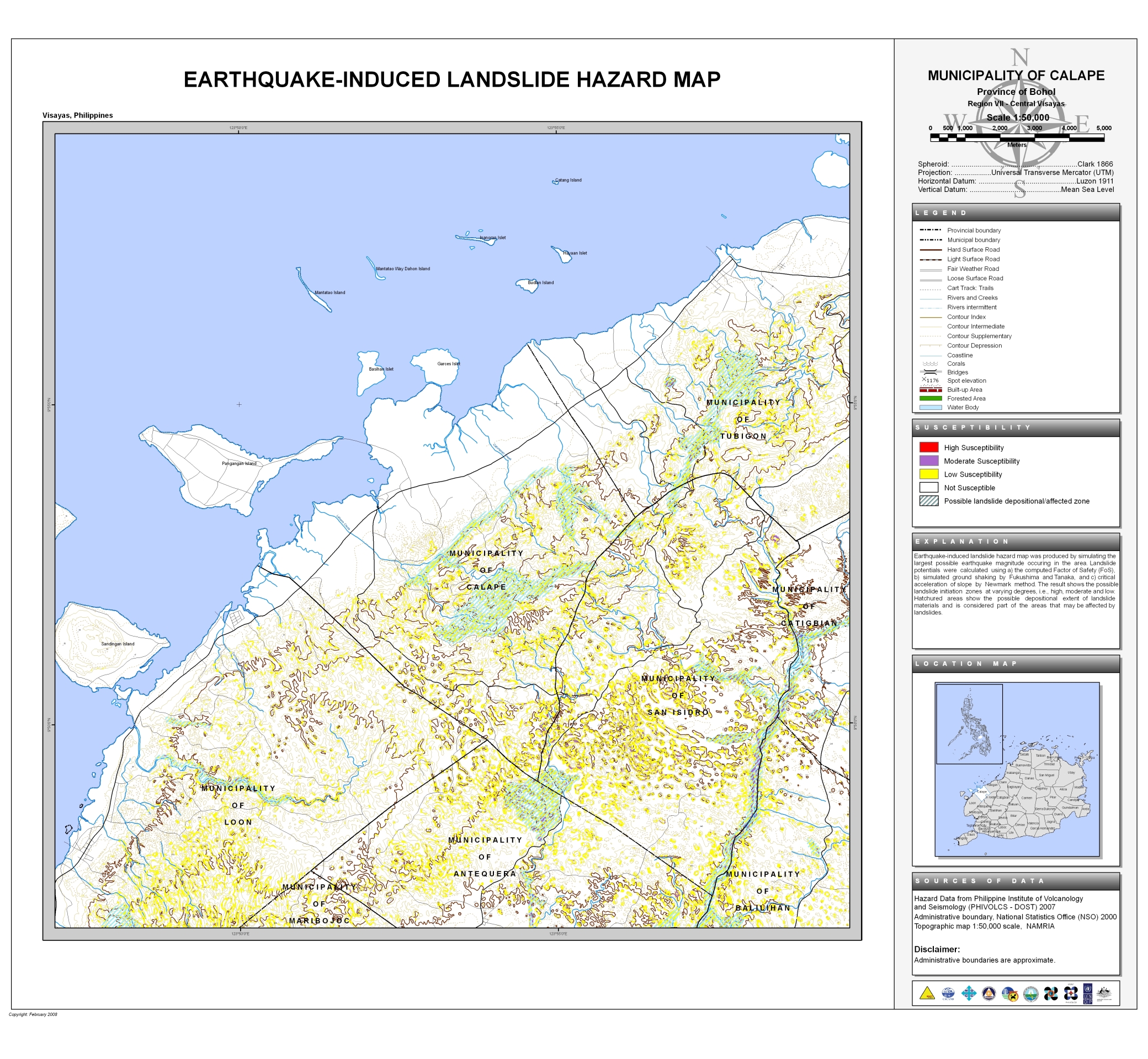
The Earthquake-Induced Landslide Map of Calape also covers the municipality of San Isidro and partially covers the municipalities of:
- Antequera
- Balilihan
- Catigbian
- Loon
- Maribojoc
- Tubigon

Provincial Planning and Development Office
The Earthquake-Induced Landslide Map of Calape also covers the municipality of San Isidro and partially covers the municipalities of: