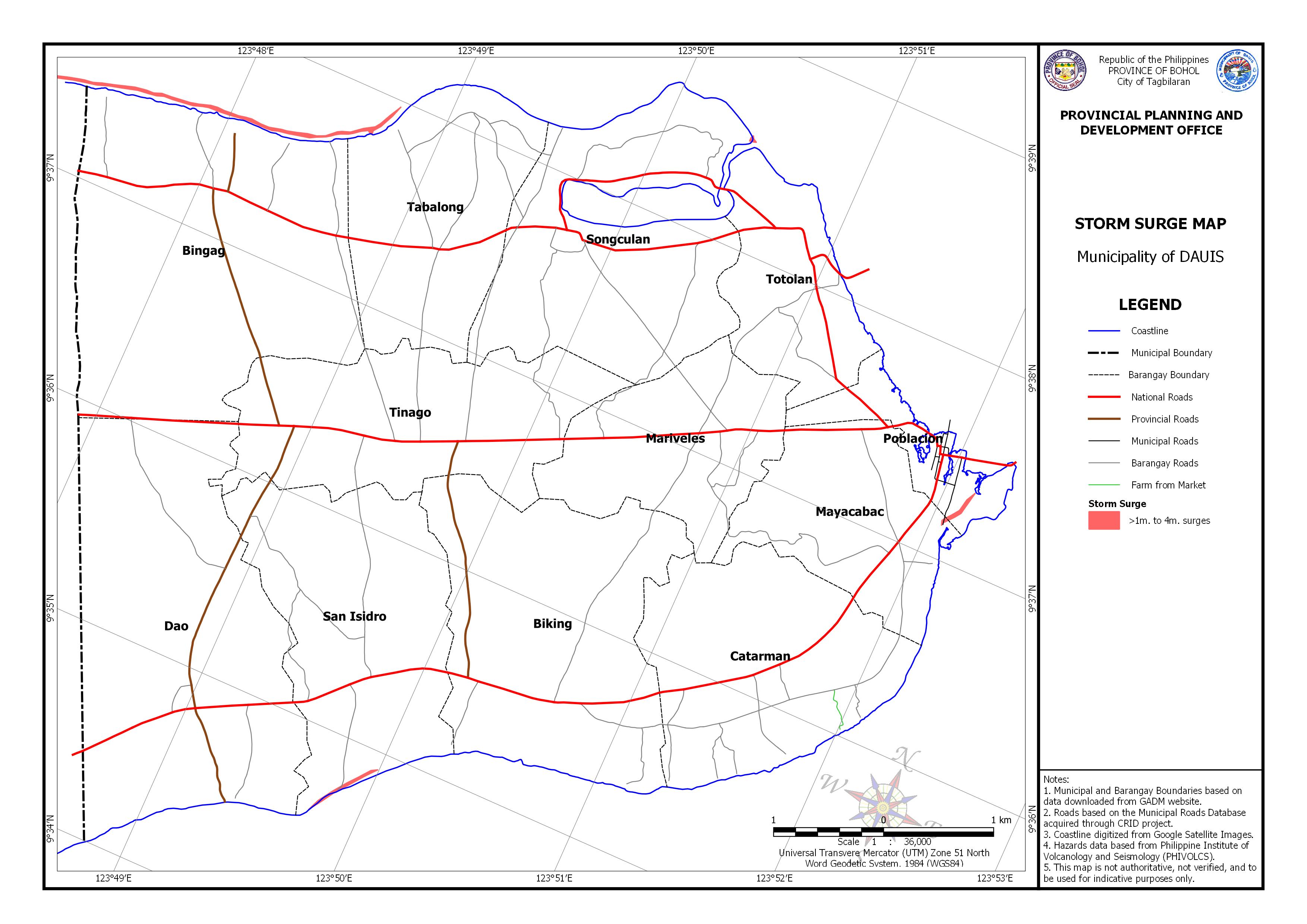
Storm Surge Download in PDF or in JPG format AREA EXPOSED TO STROM SURGE BY BARANGAY InundationArea (Ha)>1m. to 4m. surges1.442>1m. to 4m. surges1.071>1m. to 4m. surges8.155>1m. to 4m. surges0.178Note: Hazard susceptible areas computed from the Storm Surge Hazard Map