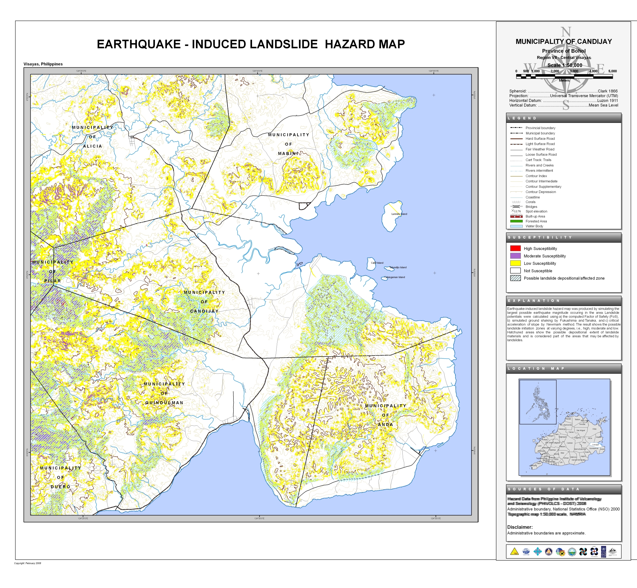
The Earthquake-Induced Landslide Map of Candijay also covers the municipality of Anda and partially covers the municipalities of:
- Alicia
- Duero
- Guindulman
- Mabini
- Pilar

Provincial Planning and Development Office
The Earthquake-Induced Landslide Map of Candijay also covers the municipality of Anda and partially covers the municipalities of: